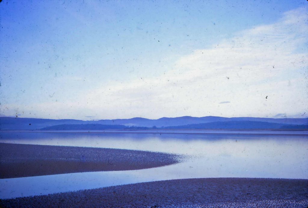
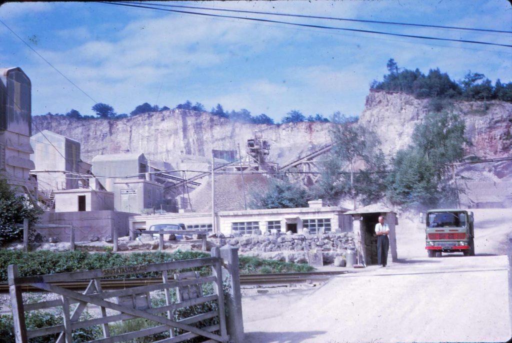
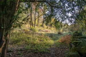
Views from around the area
These pictures, supplied by Roger Cartwright show how the area looked before it was designated as an AONB, or in its early years.


Documents relating to the planning of the AONB


These pictures, supplied by Roger Cartwright show how the area looked before it was designated as an AONB, or in its early years.
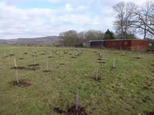
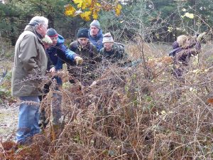
300+ new trees planted at Coldwell Bank by local school pupils, thanks to the Woodland Trust.
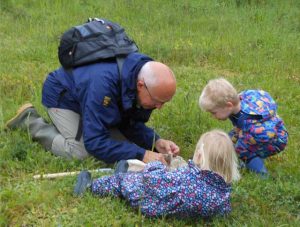
The May Day Bank holidays saw our Coldwell Horseshoe reserves hosting two contrasting but equally successful events for members of the Trust and the general public. The weather wasn’t its best on either occasion but it did stay (largely) dry and everyone gave every appearance of enjoying their visit.
Who needs Quarrite when there is gingerbread to be had?
Brown Hairstreak butterfly has been recorded in and near to Coldwell Parrock and Gait Barrows NNR over recent years. This has generated great interest and discussion, as Tom Dunbar explains.
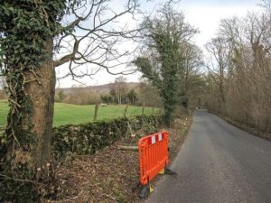
Anyone visiting or driving past our reserve at Coldwell Parrock can hardly have failed to notice that the Landscape Trust is currently undertaking a considerable amount of work on the trees and shrub growth around its boundaries. This article by our reserves team explains what is happening and why.
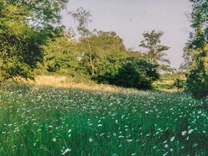
Landscape conservation has been practised in the pastures around Coldwell Farm for even longer than the AONB has existed. The Trust’s latest acquisition of reserve land at Coldwell will ensure that it continues into the future.