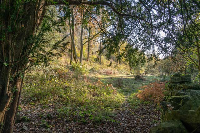
The meadow at the foot of the Landscape Trust’s reserve at Teddy Heights was historically called Gingerbread – named for its proximity to Gingerbread Well, a little-known and inconspicuous feature at Carr Bank. Until recently, both the name and the history of the well had been lost in the mists of time, but old tithe maps show the name of the meadow (which was at that time described as parrock land) and the current owners of the well have started to research the origins of local gingerbread production.
It is not known when gingerbread was first made in the Storth/Hazelslack area but it seems likely that the well would have been familiar to local inhabitants as early as mediaeval times. Naturally-occurring food-seams, particularly of treacle, were highly valued, and by the mid-nineteenth century treacle was being extracted commercially from mines in Natland (Westmorland) and Sabden (Lancashire) and there were more famous treacle wells and jam butty mines at Knotty Ash on Merseyside. Commercial exploitation of the local gingerbread well at this time would fit with the mention of Gingerbread Meadow and its associated well in the Westmorland tithe maps of the 1840s.
The geochemistry of crude gingerbread is complex and not well-documented. It seems likely that it is, at least in part, the result of an interaction between treacle and limestone – but other more subtle ingredients are also crucial to its formation. The methods of conversion of crude gingerbread into a useful end-product would appear to have been a closely guarded secret, though it was known to include a liquid refining stage and the addition of aggregate, before heat treatment and spreading.
It is not known where the treacle stream feeding the gingerbread well originates – and so the ingredients it gathers before it passes through the local limestone are still a mystery. The geology of the area would suggest that the stream eventually surfaces at Sandside and it would not be unreasonable, therefore, to assume that there are links to the asphalt plant at Sandside Quarry. The invention at Trowbarrow at the end of the nineteenth century of the ‘hot-stone’ tarmacadam trademarked as ‘Quarrite dustless paving’ may actually have been an attempt to make gingerbread using an incomplete or erroneous understanding of the process. Its poor quality may explain why production was subsequently moved from Trowbarrow to Sandside, in order to access the authentic ingredients in the hope of making edible gingerbread. Production was not moved until after the construction of Blackpool promenade in 1905, however, as Quarrite was found to be highly suitable as a road surfacing material.
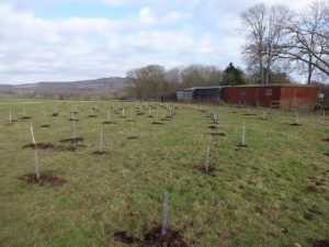
Unlike the jam butty mines of Knotty Ash, where confectionary production reached a peak in the late 1960s, manufacture in the Storth area was always small-scale and the gingerbread was probably only offered to local inhabitants. However, as the purpose of the well has now been re-discovered, the current owners are working hard to perfect the manufacturing process. The first test batches have proved promising and so twenty-first century gingerbread should soon be rolling off the Carr Bank production line and samples may be available to Landscape Trust volunteers in 2019.
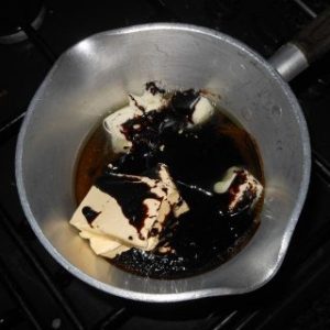
Gingerbread: Crude 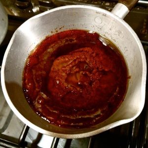
Gingerbread: Refining

Gingerbread: trial batch (Roman brick)
This Post Has 2 Comments
Free guided tours on April 1st no doubt
Free????? I thought we were supposed to be running a fundraising campaign! Free to supporters who have donated more than £50 maybe! 🙂